 Mon Prof Augmenté
Our Amazing Earth- Many Ways to see it
All ages Geography
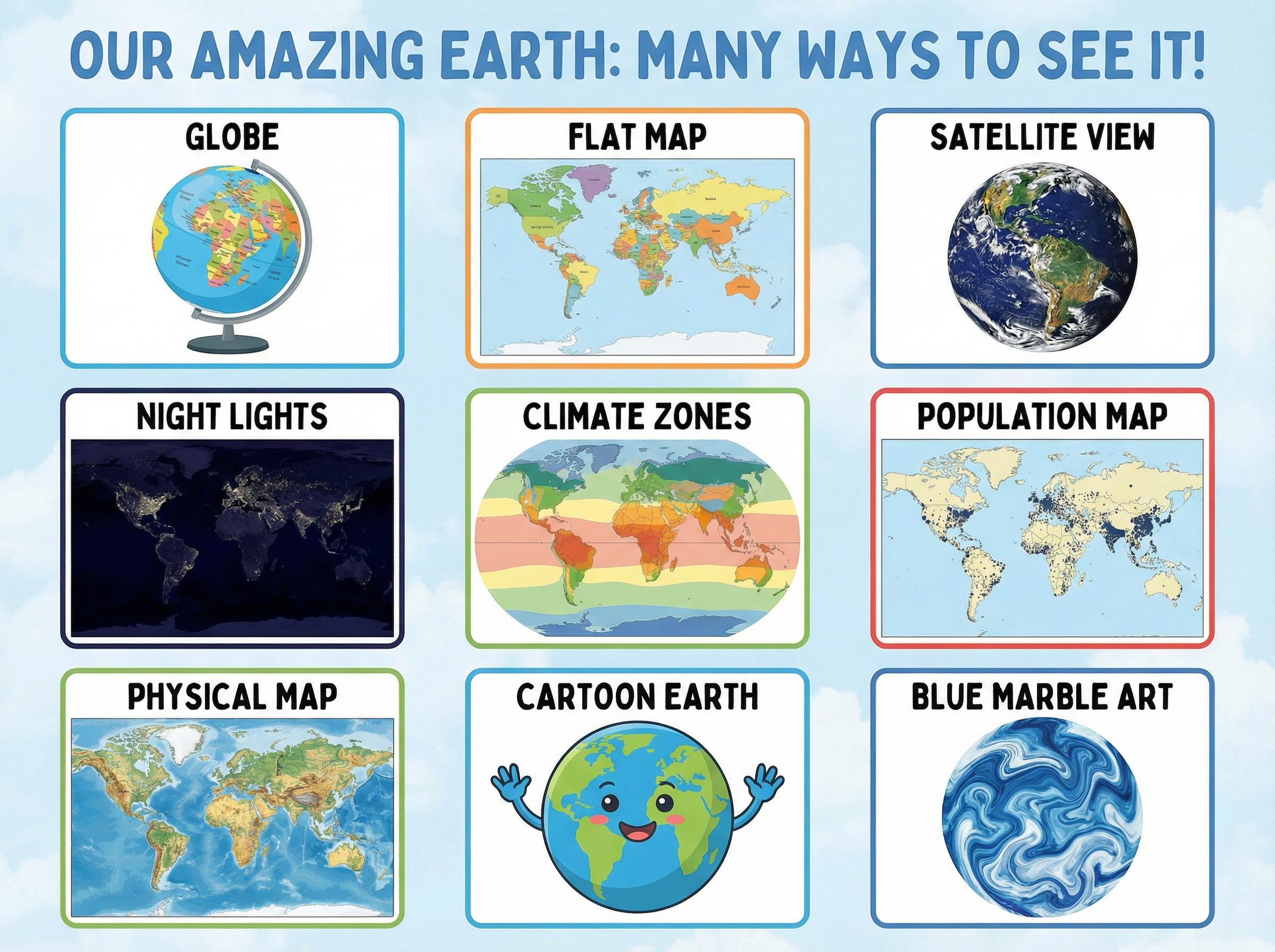
Here are nine different ways of showing the very same planet you live on. A globe is round like the real Earth, a flat map spreads it out so you can see every country at once, and a satellite photo shows it from space with real clouds on top. Other pictures leave out most things on purpose so that one idea stands out: the night lights show where cities glow after dark, the climate zones use colours for hot and cold parts, the population map uses dots for where lots of people live, and the physical map shows mountains and deep oceans. Even the smiling cartoon Earth and the swirly blue painting are the same planet, drawn to make you like it rather than to help you find your way.
Examples
- In class you spin the globe to find your country, but you use the flat map on the wall when you want to see the whole world at once.
- On a car journey the phone shows a photo view with real roofs and trees, and you can switch it to a simple drawn map with just the road names.
Key takeaways
- One planet can be shown in many different ways, and each way is still the Earth.
- Every picture leaves some things out, so you choose the one that shows what you need.